Alysa Morley 4/1/26 Alysa Morley 4/1/26 Celebrating Conservation Leadership: Jane Santucci Awarded Conservationist of the Year Read More Alysa Morley 3/27/26 Alysa Morley 3/27/26 Celebrating Conservation in Action: Britton Luther Awarded Volunteer of the Year Read More Alysa Morley 3/24/26 Alysa Morley 3/24/26 Ouabache Land Conservancy’s 16th Annual Celebration - Incredible Night! Read More Alysa Morley 3/21/26 Alysa Morley 3/21/26 Breaking Ground: Fresh Trail Magic in the Making Read More Alysa Morley 3/10/26 Alysa Morley 3/10/26 Motus Tower Now Stands at Atherton Island Natural Area Read More Alysa Morley 3/6/26 Alysa Morley 3/6/26 Continuing Trail Building at Bushnell’s North Star Woods Read More Alysa Morley 2/28/26 Alysa Morley 2/28/26 Taking Time to Plan for What Comes Next Read More Alysa Morley 2/23/26 Alysa Morley 2/23/26 What We’re Bringing Home from the Indiana Land Protection Alliance Annual Conference Read More Alysa Morley 2/15/26 Alysa Morley 2/15/26 Ouabache Land Conservancy Partners with Sam Shine Foundation to Advance Migration Science Read More Alysa Morley 2/13/26 Alysa Morley 2/13/26 Birding at Bushnell’s North Star Woods Read More Alysa Morley 2/7/26 Alysa Morley 2/7/26 Black History Month at Bushnell’s North Star Woods: Honoring Lost Creek Read More Alysa Morley 1/20/26 Alysa Morley 1/20/26 Motus Tower Project Reaches Key Construction Milestone Read More Alysa Morley 1/19/26 Alysa Morley 1/19/26 What Lives Beneath Our Feet: A Winter Walk Reveals the Quiet Power of a Salamander Read More Alysa Morley 1/14/26 Alysa Morley 1/14/26 Trail #2 at Atherton Island Natural Area Adjusted Read More Alysa Morley 1/10/26 Alysa Morley 1/10/26 Building Trails, Building Partnerships at Bushnell’s North Star Woods Read More Alysa Morley 12/16/25 Alysa Morley 12/16/25 Listening to the Forest: How Chickadees, Sound, and Social Life Reveal the Hidden Costs of Habitat Disturbance Read More Alysa Morley 12/15/25 Alysa Morley 12/15/25 Atherton Island Natural Area is now an eBird Hotspot Read More Alysa Morley 12/11/25 Alysa Morley 12/11/25 ❄️ Motus Tower Update: Heavy Lifting, Lightning Protection & A Whole Lot of Concrete ⚡ Read More Alysa Morley 12/8/25 Alysa Morley 12/8/25 We are now on the Covered Bridge Festival Map Read More Alysa Morley 11/30/25 Alysa Morley 11/30/25 Hands-On Leadership Brings North Star Woods Closer to Opening Read More Older Posts
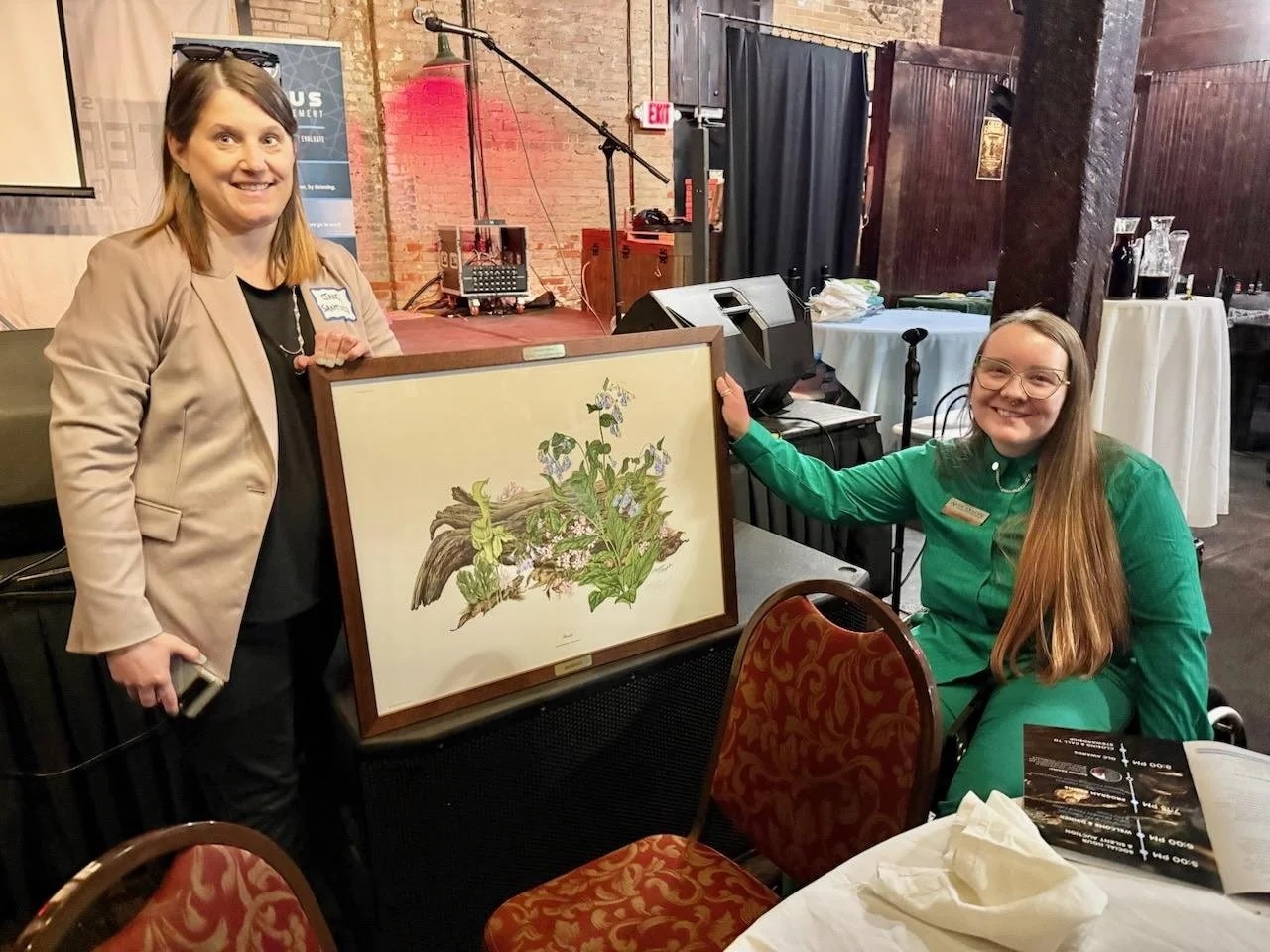
Alysa Morley 4/1/26 Alysa Morley 4/1/26 Celebrating Conservation Leadership: Jane Santucci Awarded Conservationist of the Year Read More
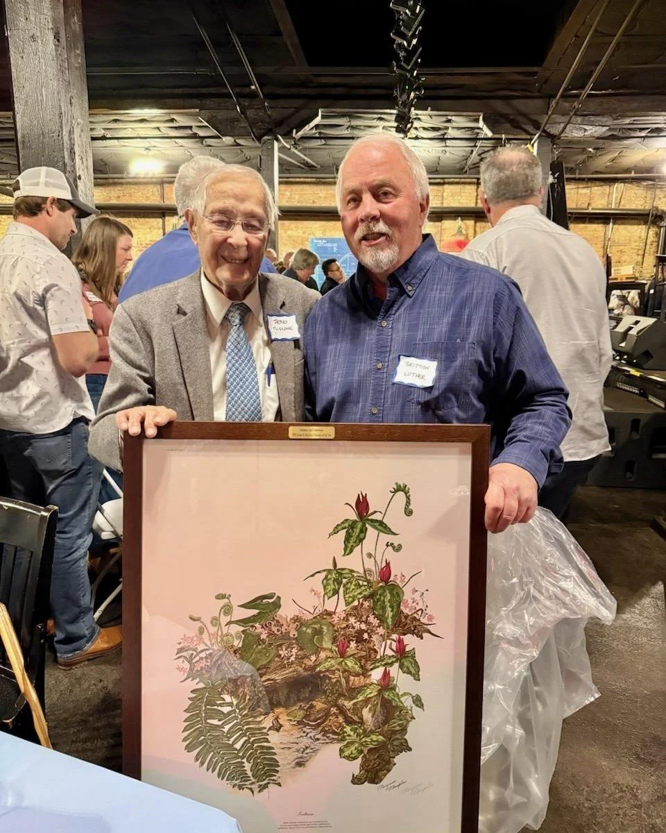
Alysa Morley 3/27/26 Alysa Morley 3/27/26 Celebrating Conservation in Action: Britton Luther Awarded Volunteer of the Year Read More
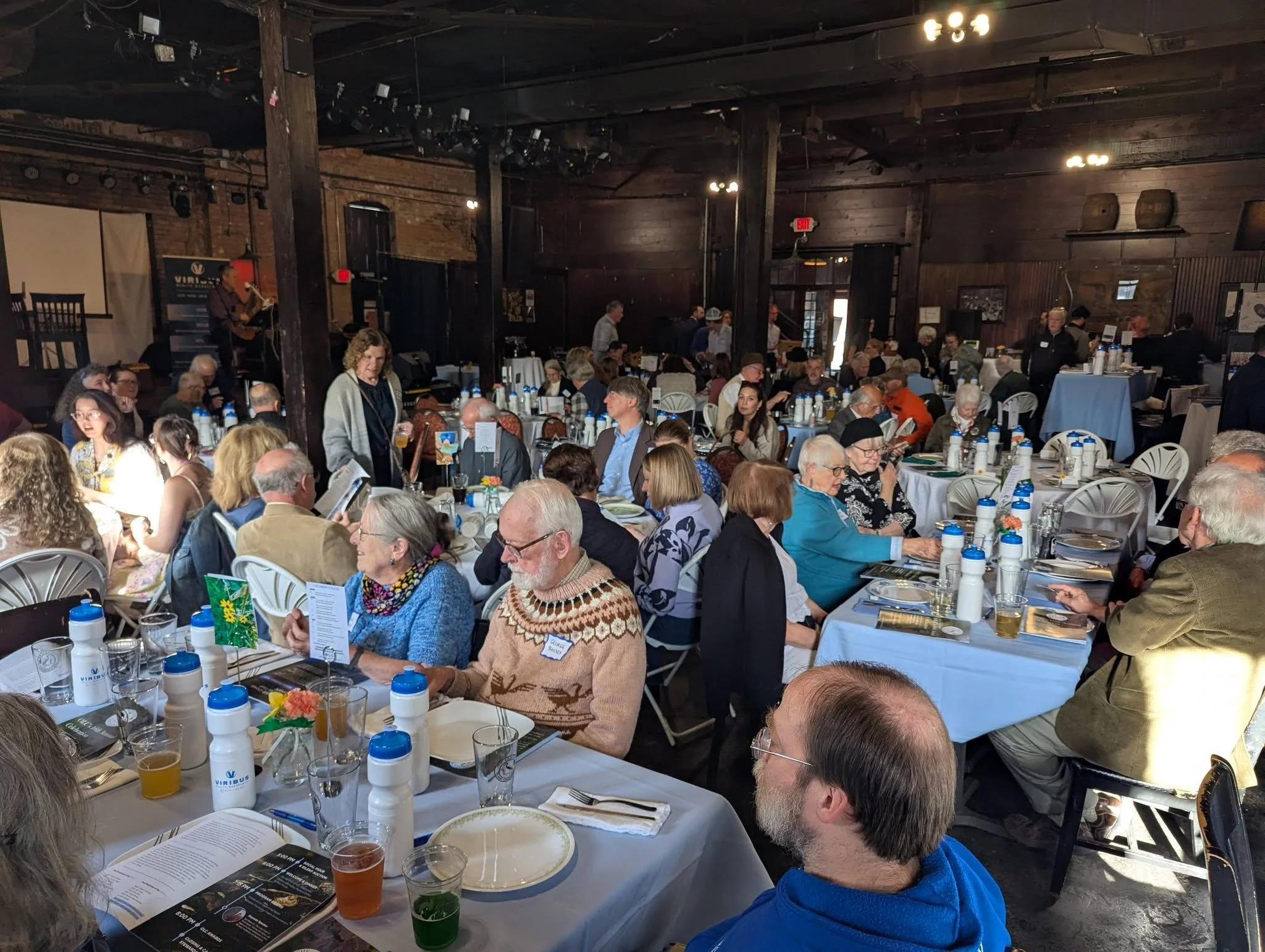
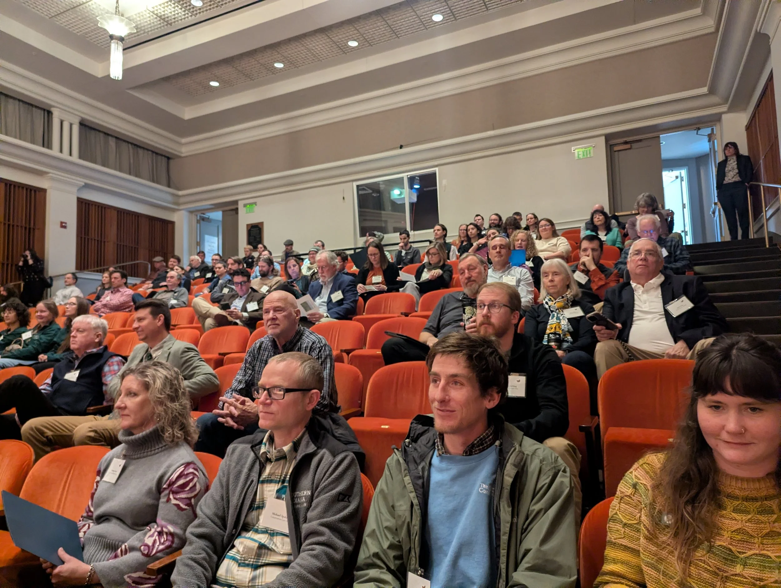
Alysa Morley 3/24/26 Alysa Morley 3/24/26 Ouabache Land Conservancy’s 16th Annual Celebration - Incredible Night! Read More
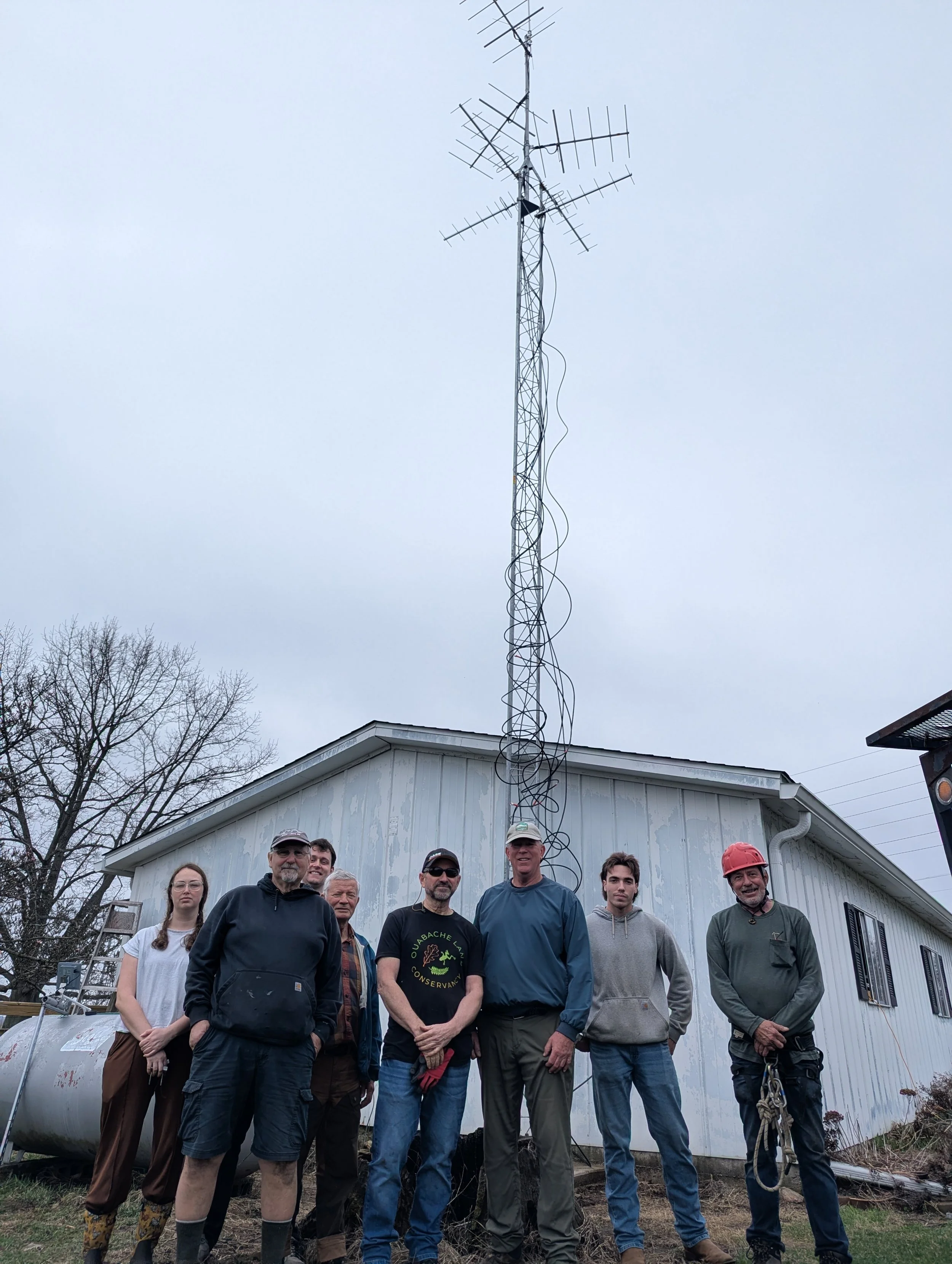
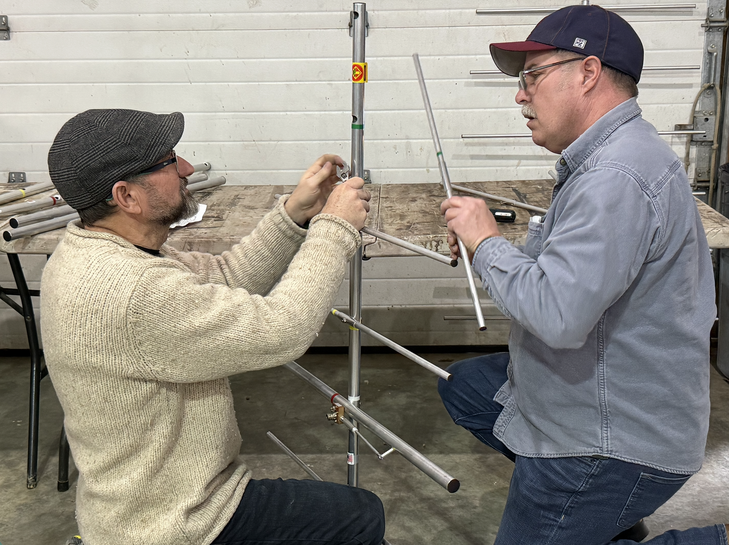
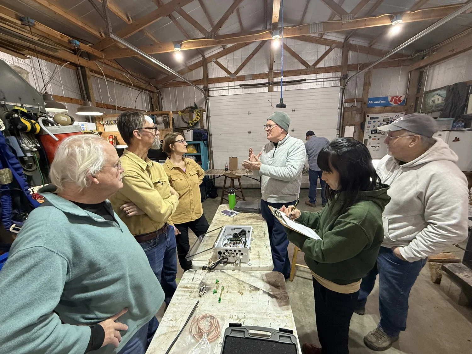
Alysa Morley 3/10/26 Alysa Morley 3/10/26 Motus Tower Now Stands at Atherton Island Natural Area Read More
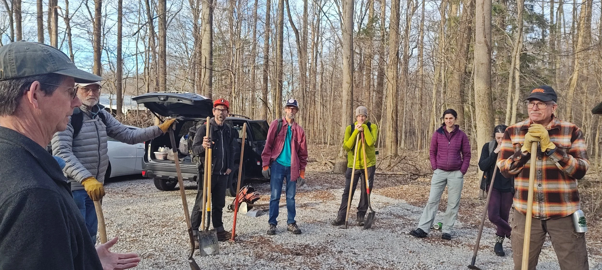
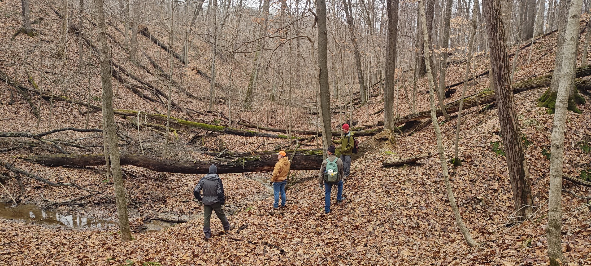
Alysa Morley 3/6/26 Alysa Morley 3/6/26 Continuing Trail Building at Bushnell’s North Star Woods Read More
Alysa Morley 2/23/26 Alysa Morley 2/23/26 What We’re Bringing Home from the Indiana Land Protection Alliance Annual Conference Read More
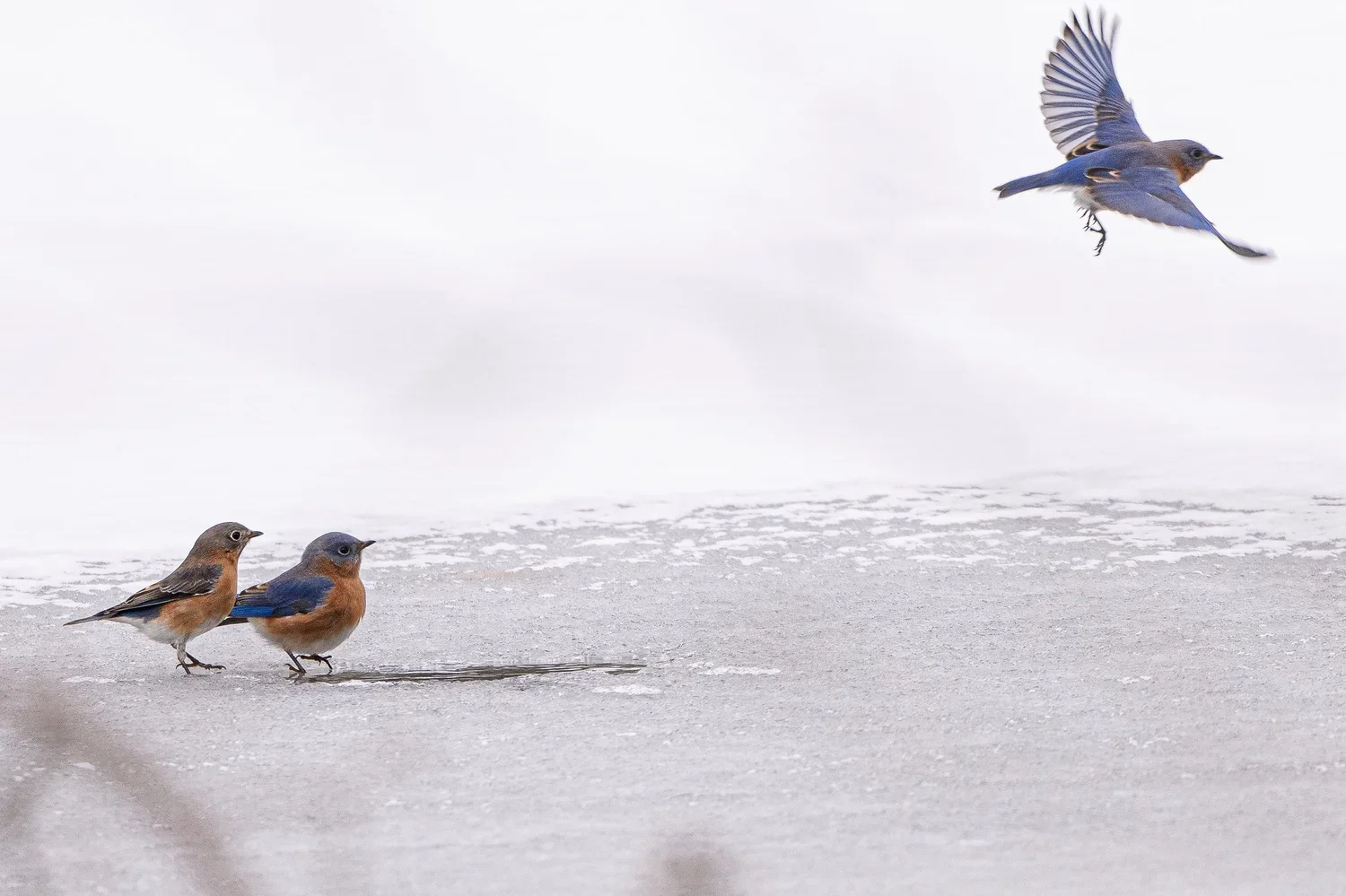
Alysa Morley 2/15/26 Alysa Morley 2/15/26 Ouabache Land Conservancy Partners with Sam Shine Foundation to Advance Migration Science Read More
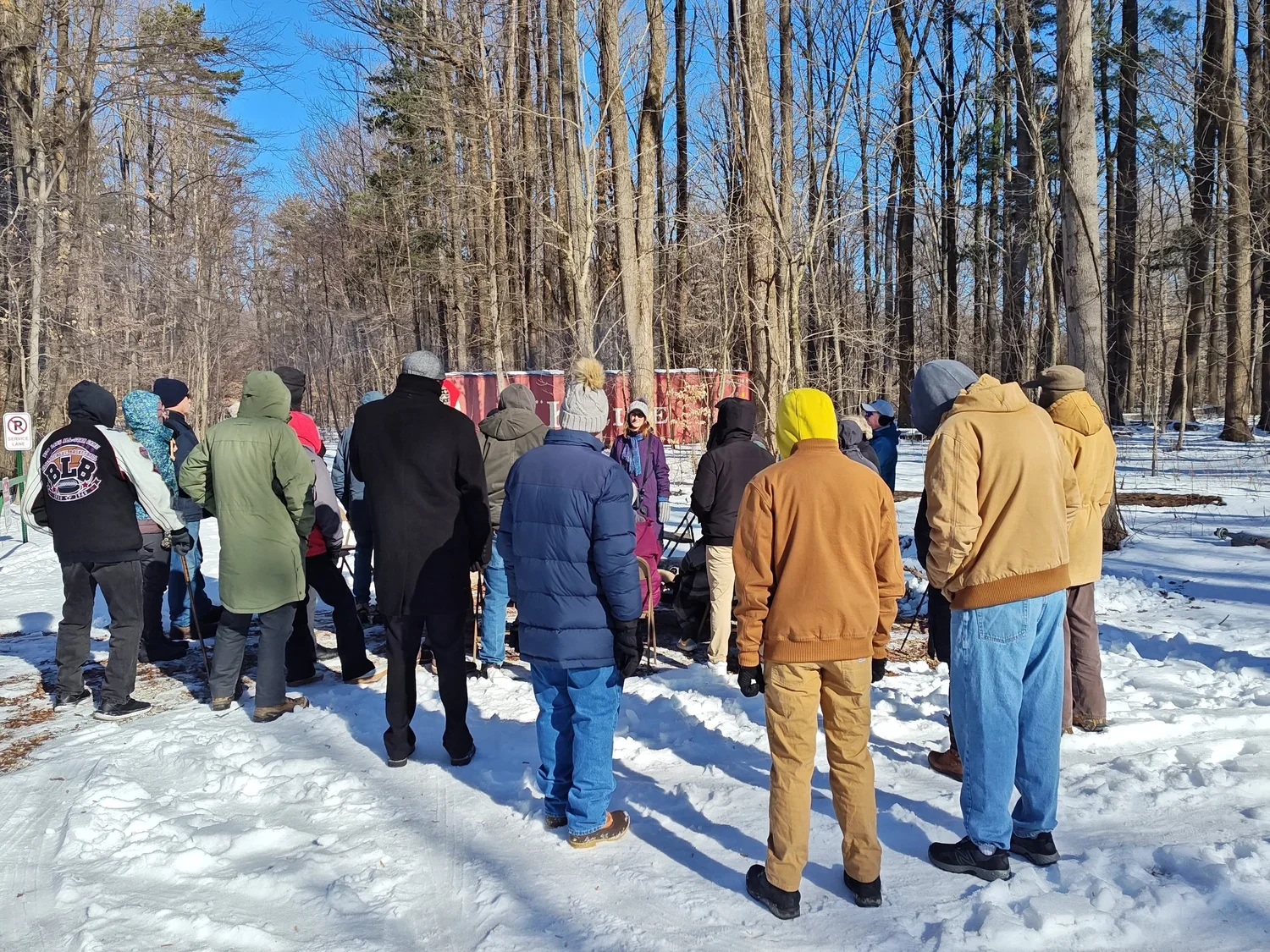
Alysa Morley 2/7/26 Alysa Morley 2/7/26 Black History Month at Bushnell’s North Star Woods: Honoring Lost Creek Read More
Alysa Morley 1/20/26 Alysa Morley 1/20/26 Motus Tower Project Reaches Key Construction Milestone Read More
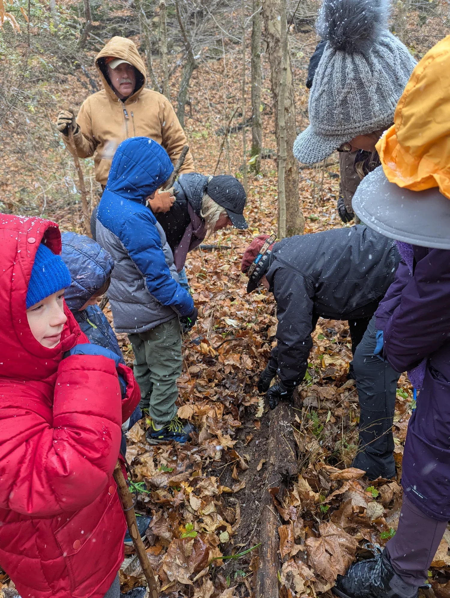
Alysa Morley 1/19/26 Alysa Morley 1/19/26 What Lives Beneath Our Feet: A Winter Walk Reveals the Quiet Power of a Salamander Read More
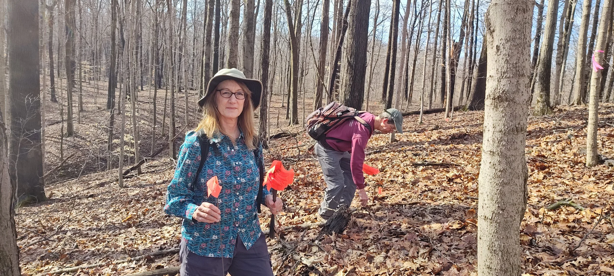
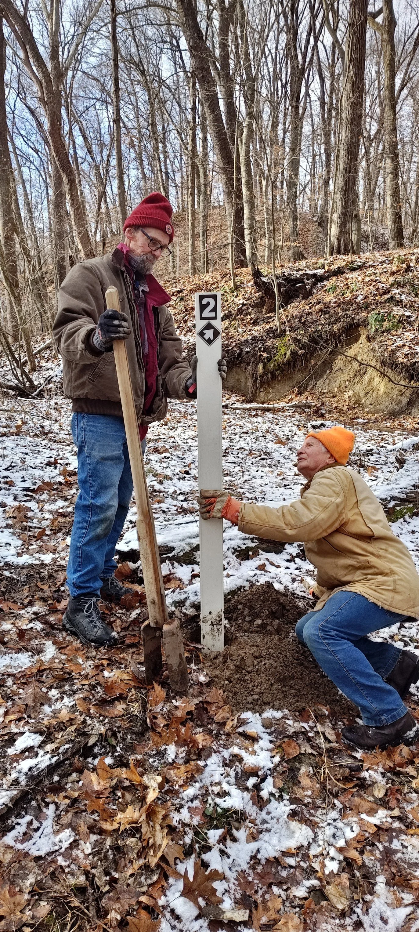
Alysa Morley 1/14/26 Alysa Morley 1/14/26 Trail #2 at Atherton Island Natural Area Adjusted Read More
Alysa Morley 1/10/26 Alysa Morley 1/10/26 Building Trails, Building Partnerships at Bushnell’s North Star Woods Read More
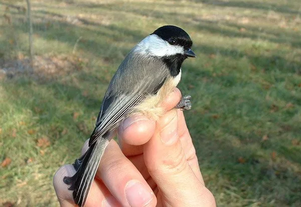
Alysa Morley 12/16/25 Alysa Morley 12/16/25 Listening to the Forest: How Chickadees, Sound, and Social Life Reveal the Hidden Costs of Habitat Disturbance Read More
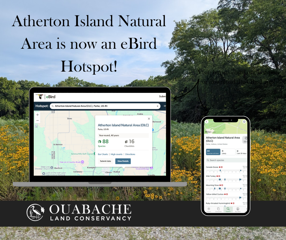
Alysa Morley 12/15/25 Alysa Morley 12/15/25 Atherton Island Natural Area is now an eBird Hotspot Read More
Alysa Morley 12/11/25 Alysa Morley 12/11/25 ❄️ Motus Tower Update: Heavy Lifting, Lightning Protection & A Whole Lot of Concrete ⚡ Read More
Alysa Morley 11/30/25 Alysa Morley 11/30/25 Hands-On Leadership Brings North Star Woods Closer to Opening Read More