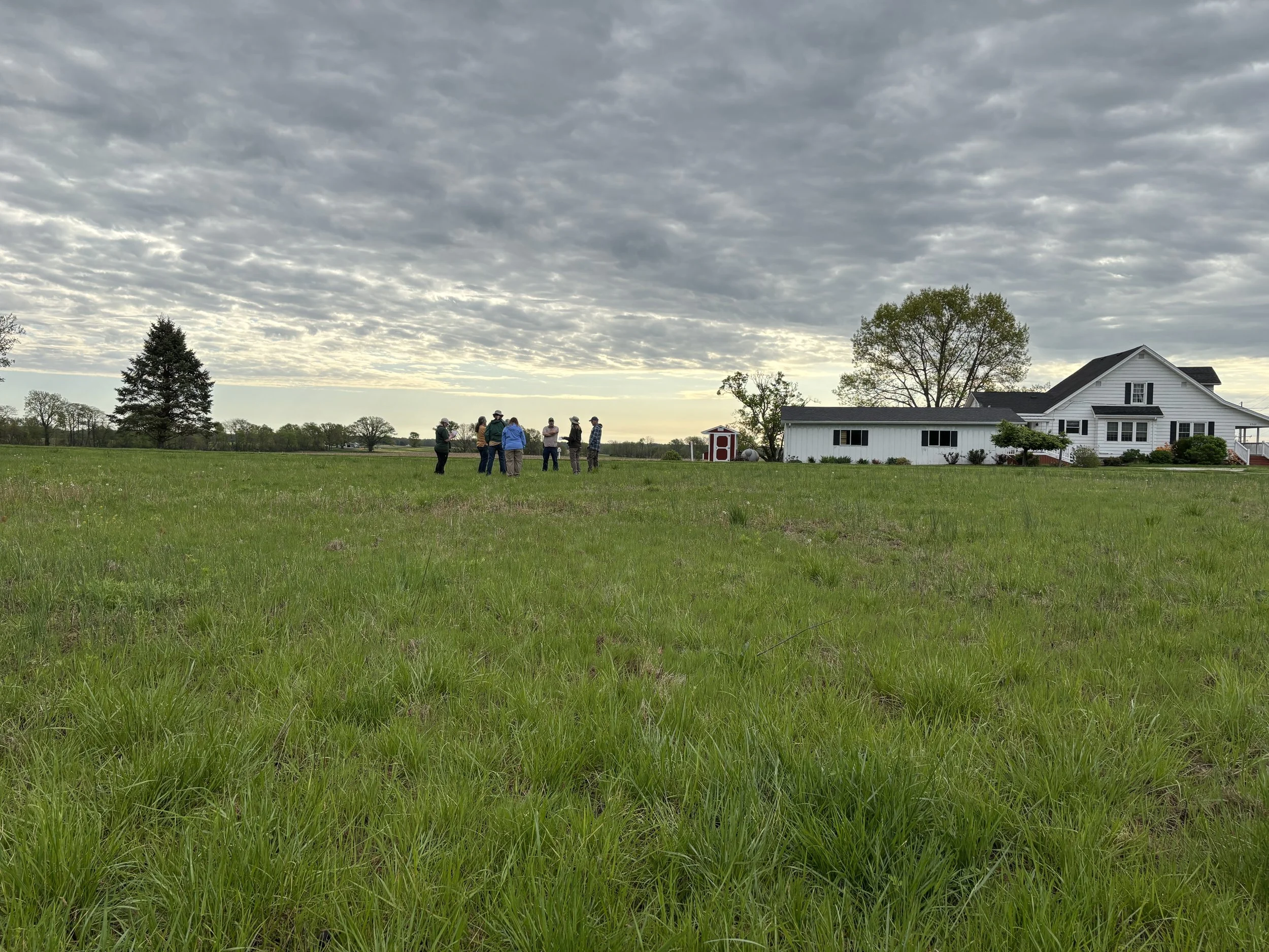
When Ouabache Land Conservancy (OLC) board member Marty Jones first heard about the Motus Wildlife Tracking System, he didn’t know much about it. Now, he's helping to lead an effort that will connect west-central Indiana to a cutting-edge international research network, introduce new scientific opportunities to the Wabash Valley, and enhance community engagement in conservation.
The plan? Install a Motus Tower at Atherton Island Natural Area, a special place near the Wabash River, an important but currently unmonitored migration corridor for birds, bats, and even butterflies.
“I didn’t know anything about Motus when this first came up. But it quickly became clear this would be a big deal not just for tracking birds and wildlife, but for building new partnerships and bringing attention to the importance of habitat in our region,” Jones said.
What is a Motus Tower?
Motus (Latin for "movement") is a global network of automated radio telemetry stations that detect radio signals from tiny transmitters affixed to migratory wildlife. Indiana’s State Ornithologist Alli Gillet describes it as “a community of partners working together to better understand wildlife movement.”
Each tag emits a unique series of signals, like Morse code, on dedicated radio frequencies. Motus Towers, whether mobile handheld units or fixed stations like the one planned for Atherton Island Natural Area are constantly “listening” for those signals. When a tagged animal flies within range up to 9 miles in either direction the tower records the detection, contributing to migration and habitat data across the Americas.
“It’s really a selfless contribution. Putting up just one tower helps support dozens of research projects across the continent,” said Gillet.
Why Atherton Island Natural Area Matters
Atherton Island Natural Area is more than a pretty spot near the Wabash River–it’s a critical gap in the existing Motus map. The nearest towers are in Lafayette, Bloomington, and across the state line in Illinois.
“Right now, our stretch of the Wabash is a blank spot. But birds and bats use river corridors like this one as navigational routes. Adding a tower here fills a major hole in the data and connects us to a much larger story,” Jones explained.
Atherton Island is also well-positioned for logistical success. After exploring multiple sites, the OLC team settled on a location behind a house. The site offers internet access and electricity, two essential components for real-time data transmission.
“It made sense in every way. It’s discreet, secure, and close to someone who cares deeply about the work we do,” Jones explained.
Building Partnerships for Conservation
The Motus Tower effort began with a conversation between Marty and Allen Pursell of the Sam Shine Foundation, a key conservation partner helping expand Indiana’s Motus presence. That conversation quickly evolved into action, with the Foundation helping support the project, granting OLC the flexibility to move at a thoughtful, sustainable pace.
Marty also reached out to a host of collaborators from the American Bird Conservancy, including Todd Alleger, Atlantic Flyway Motus Coordinator, to a new graduate student at Indiana State University, Jackson Kinder M.S. Biology, Avian Ecology, who is eager to join the effort.
“These types of relationships are what make a project like this possible. It’s not just about the hardware. It’s about building community with funders, researchers, and the public,” Jones explained.
Gillet echoes that sentiment, highlighting how the Motus network is both science-forward and community-driven. “You can actually go online and see which animals were detected by any Motus tower. That kind of public-facing data makes this project accessible and exciting,” Gillet explained.
A Tool for Research, Education and Inspiration
Beyond contributing to global research, the Atherton Island Natural Area Motus Tower will open doors for local science and education initiatives. With help from groups like the Wabash Valley Audubon Society, OLC hopes to engage in bird-tagging efforts and citizen science programs, allowing local residents to see firsthand how their region fits into a larger ecological web.
“We’ve tracked a bat from Mammoth Cave in Kentucky to Greene County, Indiana, and on to Lafayette. We’ve recorded warblers from Jamaica. This tower will help us understand where these animals go—and why,” Gillet shared.
Jones envisions educational signage near the site explaining the tower’s purpose, making the otherwise-invisible science more tangible to visitors. And if all goes according to plan, the tower will be operational by spring 2026, just in time for the next round of migration.
Making it Happen
Towers like this still come with significant costs ranging from $7,000 to $15,000, depending on the structure and components involved. Inflation and supply chain issues have driven up prices for antennas and electronic parts, most of which are sourced internationally. Ideal towers host eight directional antennas, coaxial cabling, a processing unit, a mast or mounting system, and access to power and the internet.
But the investment is worth it. As Gillet puts it: “What we’re studying now becomes the foundation of what we’ll teach, manage, and protect in the future. This is how conservation moves forward.”
A Tower that Connects Us All
At its core, the Motus Tower project is about much more than tracking birds; it's about building bridges: between science and community, data and action, people and the places they cherish.
“This project isn’t just for OLC. It’s a contribution to a larger scientific effort. But it also gives us a new way to engage our community. People love birds. They love learning how our land connects to something bigger,” Jones explained.
In an ever-changing world, that kind of connection may be exactly what we all need.
Want to help OLC bring this tower to life?
Support the Motus Tower project at: ouabachelandconservancy.org/donate.

